Goal
Provide a hand-held instrument capable of measuring angles, latitude, longitude, elevation and gradients for navigation, surveying and astronomy without the need for a timepiece.
Problem
Traditional navigation and surveying require expensive, trained instruments (sextants, theodolites) and accurate timepieces; the device aims to offer a low-cost, simple alternative.
Concept Summary
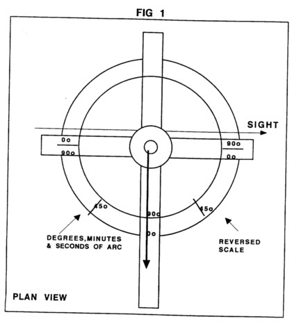
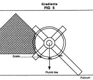
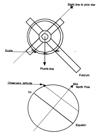
The invention is a weighted cross with a centrally fixed plumb line and a degree scale. The cross acts as a sighting device; the plumb line provides a vertical reference. By sighting celestial bodies or topographic features and reading the angular displacement on the scale, the user can determine latitude, longitude, elevation and gradients with an accuracy claimed to be about 1 arc-minute.
Detailed Description
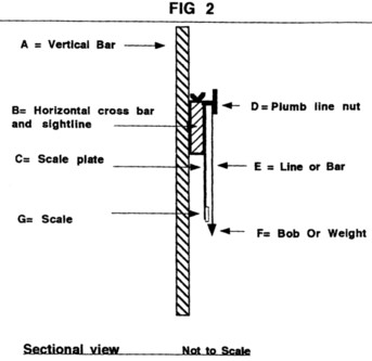
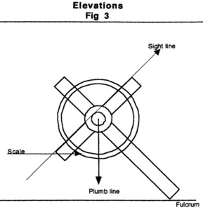
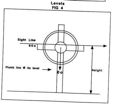
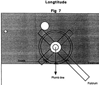
The instrument consists of a vertical upright bar (fulcrum), a cross piece mounted at right angles to the upright, a scale plate covering up to 360 deg , a central bearing bearing a plumb line or bar with a weighted bob. The lower part of the upright can be mounted on a tripod, hand-held or freestanding. The user sights through the cross arm, allowing the plumb line to indicate vertical, and reads the angular measurement on the scale. The device can be used as a traveler for pipe-laying, a theodolite for topographic gradients, or a sextant for astronomical observations to longitude determination by tracking lunar and stellar positions against an almanac.
Principles
- Simple geometry
- Sidereal observation
- Plumb-line vertical reference
- Angular measurement on a calibrated scale
Scientific Domains
Materials
- Metal
- Wood
- Plastic
Mechanisms of Action
- Sighting through cross arms
- Plumb line indicates true vertical
- Scale reads angular displacement in degrees, minutes, seconds
Applications
- Navigation
- Land surveying
- Astronomical observations
Claimed Performance
Accuracy of at least 1 arc-minute, yielding longitude accuracy of ~15 nautical miles at the equator (~=7.5 nautical miles at 45 deg N).
Experimental Evidence
The author claims the instrument has been proven to determine longitude without a timepiece, but no quantitative data or independent testing is presented.
Replication Status
No explicit statement of replication or commercial scaling is provided in the text.
Limitations
- Requires skilled visual observation and almanac reference
- Accuracy depends on size and construction quality of the device
Red Flags
- Lack of peer-reviewed experimental data
- Claims rely on historical anecdote rather than modern testing